
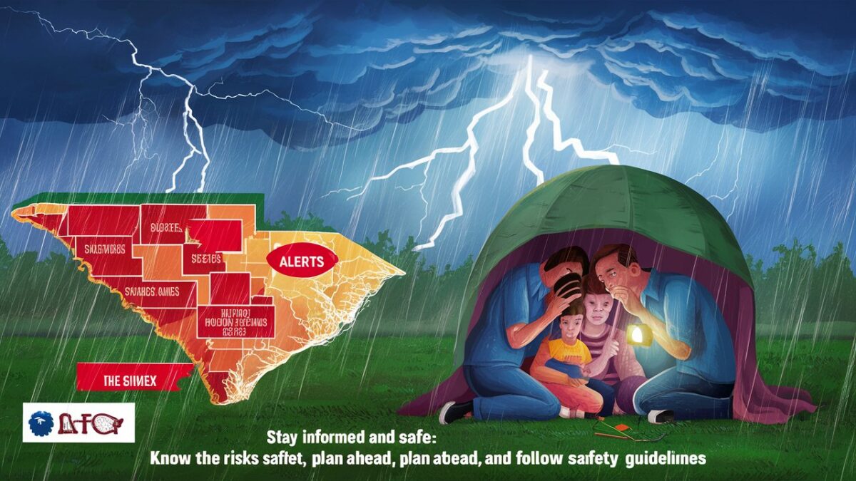
The National Weather Service has issued multiple severe thunderstorm alerts for several counties across South Carolina, warning residents of potentially dangerous weather conditions. These alerts come as a strong storm system moves through the region, bringing with it heavy rainfall, damaging winds, frequent lightning, and the possibility of hail. Meteorologists are urging residents to remain vigilant, stay indoors when possible, and monitor local weather updates closely. Severe thunderstorms can develop rapidly, and their impact can range from power outages and property damage to flash flooding and hazardous travel conditions. Understanding the nature of these alerts and how to respond effectively is crucial for ensuring safety during such volatile weather events.
Overview of the Current Weather Situation
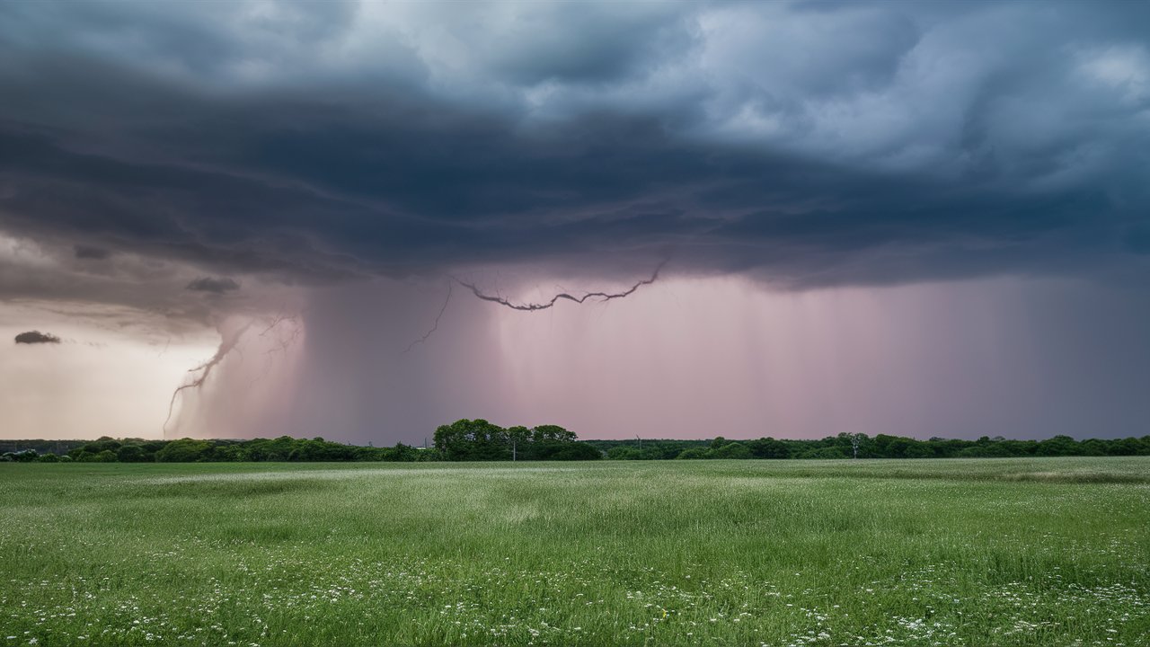
Multiple Severe Thunderstorm Alerts Issued for South Carolina Counties, a powerful cold front is sweeping across the southeastern United States, triggering a series of severe thunderstorms in South Carolina. The affected counties include Richland, Lexington, Greenville, Spartanburg, Charleston, and Horry, among others. These storms are expected to produce wind gusts exceeding 60 miles per hour, intense lightning strikes, and localized flooding in low-lying areas. Some areas may also experience hailstones large enough to cause damage to vehicles, roofs, and crops.
Meteorologists have noted that the atmospheric conditions are particularly favorable for the development of strong thunderstorms, with high humidity levels and unstable air masses contributing to the storm’s intensity. The system is expected to move northeastward throughout the evening, with the potential for additional warnings to be issued as the situation evolves. Residents are advised to remain alert and take immediate precautions when thunderstorm warnings are activated in their area.
Counties Under Severe Thunderstorm Alerts
The severe thunderstorm alerts currently cover a wide portion of South Carolina, affecting both inland and coastal regions. Counties such as Greenville, Spartanburg, Anderson, Lexington, Richland, Charleston, Berkeley, and Horry are under active warnings. Each of these areas faces unique risks depending on their geography and infrastructure.
In the Upstate region, strong winds and heavy rainfall are the primary concerns, with the potential for downed trees and power lines. In the Midlands, flash flooding poses a significant threat, especially in urban areas where drainage systems can quickly become overwhelmed. Along the coast, residents are being warned about the possibility of water spouts and strong gusts that could impact boating and coastal travel. Emergency management officials are coordinating with local authorities to ensure that shelters and response teams are prepared in case of widespread damage or power outages.
Potential Impacts of the Severe Thunderstorms
Severe thunderstorms can have far-reaching consequences, both immediate and long-term. The most immediate threats include damaging winds, lightning strikes, and flash flooding. Winds exceeding 60 miles per hour can uproot trees, damage homes, and cause widespread power outages. Lightning poses a serious risk to anyone outdoors, and it can also ignite fires when striking dry vegetation or structures.
Heavy rainfall associated with these storms can lead to flash flooding, particularly in low-lying areas, near rivers, and in urban environments with poor drainage. Motorists are strongly advised not to attempt driving through flooded roads, as even a few inches of moving water can sweep vehicles away. Additionally, hail can cause significant damage to vehicles, crops, and property, adding to the overall impact of the storm system.
Beyond the physical damage, severe weather events like these can disrupt daily life, affecting transportation, communication, and essential services. Schools and businesses in affected areas may close temporarily, and residents could face delays in emergency response due to hazardous conditions.
Safety Tips for Residents
During severe thunderstorm alerts, safety should be the top priority. The National Weather Service recommends that residents seek shelter indoors immediately when a warning is issued. The safest place to be during a thunderstorm is inside a sturdy building, away from windows and electrical appliances. Avoid using corded phones or touching metal objects that could conduct electricity.
If you are driving when a thunderstorm strikes, pull over to a safe location and remain in your vehicle until the storm passes. Avoid parking under trees or near power lines, as strong winds can cause them to fall. For those living in mobile homes or temporary structures, it is advisable to move to a more secure location if possible.
Residents should also prepare an emergency kit containing essentials such as flashlights, batteries, bottled water, non-perishable food, and a first-aid kit. Keeping mobile devices charged and having access to a battery-powered weather radio can ensure that you receive timely updates even during power outages.
Pet owners should bring animals indoors and ensure they have adequate shelter and comfort during the storm. It is also important to check on elderly neighbors or those with limited mobility to ensure they are safe and informed about the weather situation.
The Role of Emergency Services and Weather Agencies
Local emergency management agencies and the National Weather Service are working closely to monitor the evolving weather conditions and provide timely updates to the public. Meteorologists are using advanced radar systems and satellite imagery to track storm movements and issue alerts as needed. Emergency response teams are on standby to assist with rescue operations, debris removal, and power restoration in the aftermath of the storms.
Residents are encouraged to follow official channels for updates, including local news stations, weather apps, and the National Weather Service website. Social media can also be a valuable tool for real-time information, but it is essential to verify the credibility of sources before acting on any advice or warnings.
Preparing for Future Severe Weather Events
While severe thunderstorms are a common occurrence in South Carolina, preparation can significantly reduce their impact. Homeowners are advised to inspect their properties regularly, securing loose outdoor items and trimming trees that could pose a hazard during high winds. Installing surge protectors and reinforcing windows can also help minimize damage.
Communities can benefit from participating in local emergency preparedness programs and staying informed about weather patterns specific to their region. Schools and workplaces should have clear emergency plans in place, ensuring that everyone knows what to do when severe weather strikes. By fostering a culture of preparedness, South Carolina residents can enhance their resilience against future storms.
Conclusion
The issuance of Multiple Severe Thunderstorm Alerts Issued for South Carolina Counties serves as a reminder of the power and unpredictability of nature. While these storms can cause significant disruption and damage, awareness and preparation are key to staying safe. Residents are urged to take all warnings seriously, follow safety guidelines, and remain informed through reliable weather sources. As the storm system continues to move through the region, vigilance and caution will be essential in minimizing risks and protecting lives and property. South Carolina has faced severe weather before, and with collective effort and preparedness, its communities will once again demonstrate resilience in the face of nature’s challenges.
Frequently Asked Questions (FAQ)
Which South Carolina counties are under severe thunderstorm alerts?
Counties currently under alerts include Greenville, Spartanburg, Anderson, Lexington, Richland, Charleston, Berkeley, and Horry, among others.
What are the main dangers associated with these thunderstorms?
The primary threats include damaging winds, heavy rainfall, lightning, hail, and flash flooding, all of which can cause property damage and pose risks to personal safety.
How long will the severe thunderstorm alerts remain in effect?
The alerts are expected to remain active throughout the evening, depending on the movement of the storm system. Residents should monitor local weather updates for real-time information.
What should residents do during a severe thunderstorm warning?
Seek shelter indoors immediately, avoid windows and electrical devices, and stay tuned to official weather updates. If driving, pull over safely and wait for the storm to pass.
How can residents prepare for future severe weather events?
Keep an emergency kit ready, secure outdoor items, stay informed through reliable weather sources, and have a family emergency plan in place to ensure safety during future storms.